 Graham Scott · CC BY-SA 2.0
 Why visit
Ben Nevis is worth allowing time for because it combines a distinctive landscape that can be understood through geology, land use and carefully chosen walking viewpoints. The site is more useful than a quick photograph: its surviving features give clear evidence of how the place developed and how people used it. Key things to concentrate on are main landscape viewpoints and geological, coastal, moorland or mountain features. Its position in or near Fort William also makes it a practical anchor for exploring the surrounding region without reducing the visit to a simple landmark stop.
What you will see
- main landscape viewpoints.
- geological, coastal, moorland or mountain features.
History
Ben Nevis is the highest mountain in the British Isles at 1,345 metres. A summit observatory operated from 1883 to 1904, leaving ruins that remain visible near the summit plateau.
Photographs
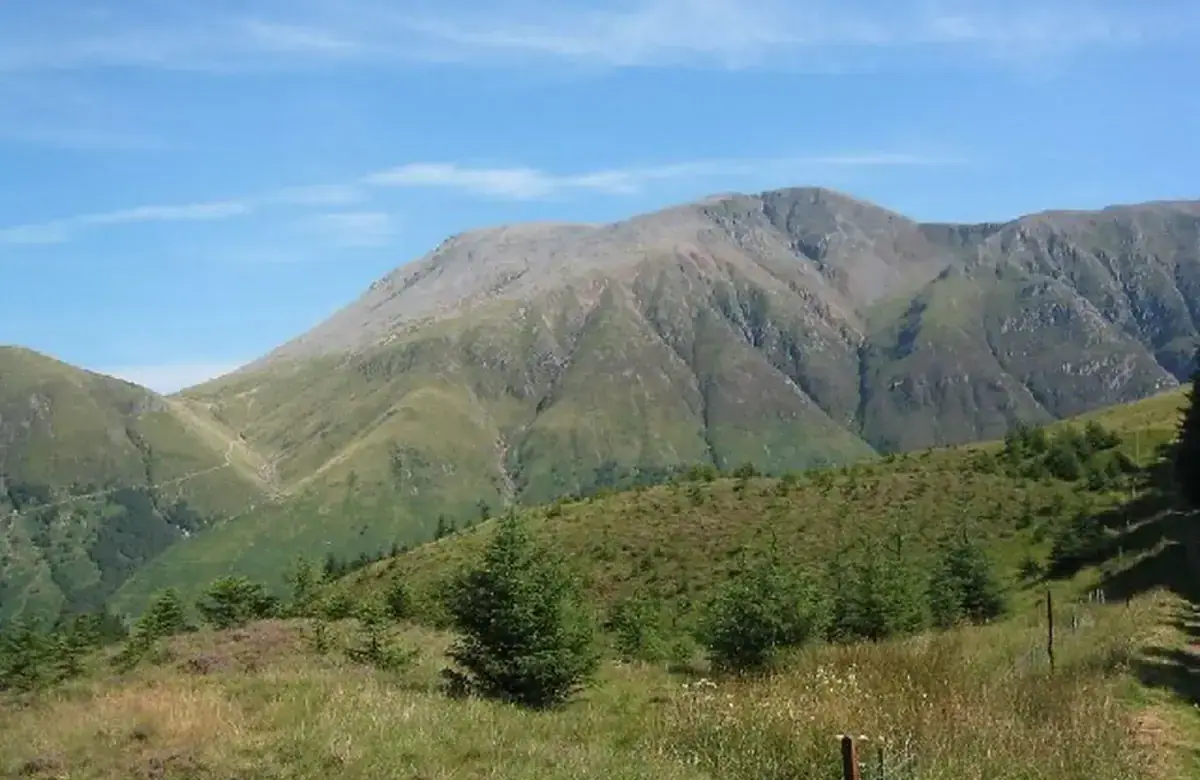
Graham Scott · CC BY-SA 2.0 · full attribution on the image credits page.
Visitor tips
- 1
Allow enough time for the principal features rather than treating the stop only as a photograph.
- 2
Check the official visitor page shortly before travel for access, booking and any temporary restrictions.
About Scottish Highlands
Loch-side castles, glens, mountain scenery, Jacobite history and the highest summit in the British Isles.
Open the United Kingdom guide