 Castagna · CC BY-SA 3.0
 Why visit
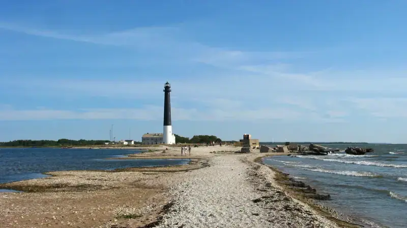
Sõrve Lighthouse gives a strong sense of Saaremaa’s maritime position. The long peninsula narrows into an exposed spit, and the lighthouse marks a navigation point that has been important for centuries. Even without climbing the tower, the surrounding shore, old military traces and open horizon make the area worth the drive south. When tower access is available, the elevated view emphasises the geography of the Irbe Strait. Weather can change quickly at this exposed end of the island, so the landscape itself remains the main attraction.
What you will see
- concrete lighthouse tower.
- Sõrve peninsula tip.
- open Baltic coastline.
- long-distance maritime views.
History
A beacon was established in the Sõrve area in the seventeenth century. Successive towers were replaced as navigation needs changed and wartime destruction affected the site. The present reinforced-concrete lighthouse dates from the twentieth century.
Visitor tips
- 1
Allow enough time to explore the setting rather than only the principal feature, and follow local signs where routes, protected areas or historic surfaces limit access.
About Saaremaa & Muhu
Estonia’s largest island region mixes medieval Kuressaare, meteorite geology, windmills, limestone coast and traditional Muhu villages.
Open the Estonia guide